Published by AMTEC on 07th Jul 2021
Drones are becoming increasingly useful to farmers.
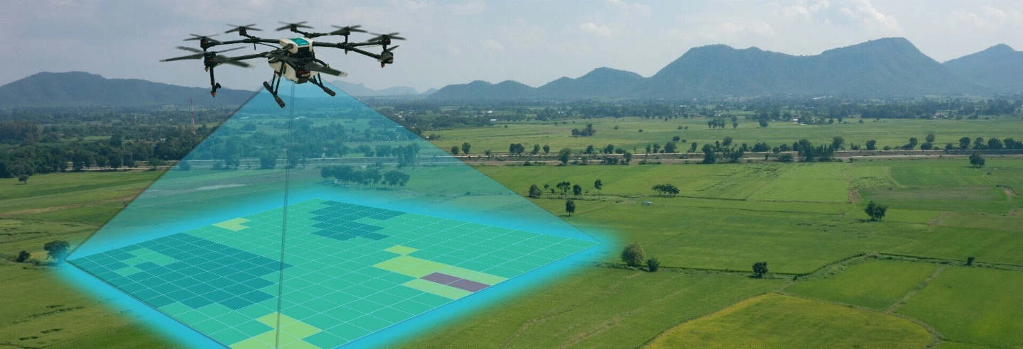
Drones, to the growing number of science-based farmers, simply means a low-cost aerial camera platform, using either miniature fixed-wing aeroplanes or quadcopters and other multibladed helicopters.
The drones are equipped with a standard camera, capturing images that can be joined together by image software on the ground into a high-resolution mosaic map. Whereas a traditional radio-controlled aircraft needs to be flown from the ground, in a lot of drones the GPS autopilot does all the flying, from auto takeoff to landing. Its software plans the flight path, aiming for maximum coverage of the fields, and controls the camera to optimize the images for later analysis.
This low-altitude view (from a few meters above the plants to around 150 metres, which is the regulatory ceiling in the United Kingdom for unmanned aircraft operating with surveillance https://www.caa.co.uk/Commercial-industry/Aircraft/Unmanned-aircraft/Unmanned-Aircraft/ ) gives a viewpoint that farmers have rarely had before. Compared with satellite imagery, it’s much cheaper and offers a higher resolution. Because it’s taken under the clouds, it’s clear and possible anytime. It’s also much cheaper than crop imaging with a piloted aircraft, which can run £600 an hour. Farmers can buy the drones outright for less than £600 each.


1. Seeing a crop from the air can expose patterns that uncover everything from irrigation problems to soil variation and even pest and fungal infestations that aren’t apparent at eye level and even in low quality satellite imagery.
2. Airborne cameras can take multispectral images, capturing scientific data from the infrared as well as the visual spectrum, which can be combined to create a view of the crop that highlights differences between healthy and distressed crops in a way that can’t be seen with the naked eye, which can then be used for more accurate farming – e.g. fertilizer spreading for example.
3. A drone can survey a crop anytime the farmer wants it to - every week, every day, or even every hour. Combined to create a time-series animation, that imagery can show changes in the crop, revealing trouble spots or opportunities for better crop management.
Agricultural drones are becoming a tool like any other consumer device, and we’re starting to talk about what we can do with them. More and better data can reduce water use and lower the chemical load in our environment and our food. Seen this way, what started as a military technology may end up better known as a green-tech tool, and our kids will grow up used to flying robots buzzing over farms.
It is just another stepping stone to increasingly data-driven agriculture, and if we are to keep the growing population of the world alive, technology is the way to increase our outputs and decrease our inputs in the future.
Learn the seven key lessons successful farm managers use to build resilient farming businesses, from people and culture to technology, communication and long-term planning.
Jason White
16th Jun 2026
Read More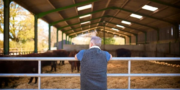
Precision farming and modern machinery improve efficiency, but long-term agricultural success still depends on good operators, strong teams, and practical management.
Jason White
18th May 2026
Read More
Using cover crops as part of your sustainable farming journey.
AMTEC
01st May 2026
Read More